8 Days
Daily Tour
16 people
English, Espanol, Portuguese

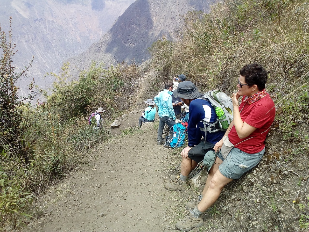
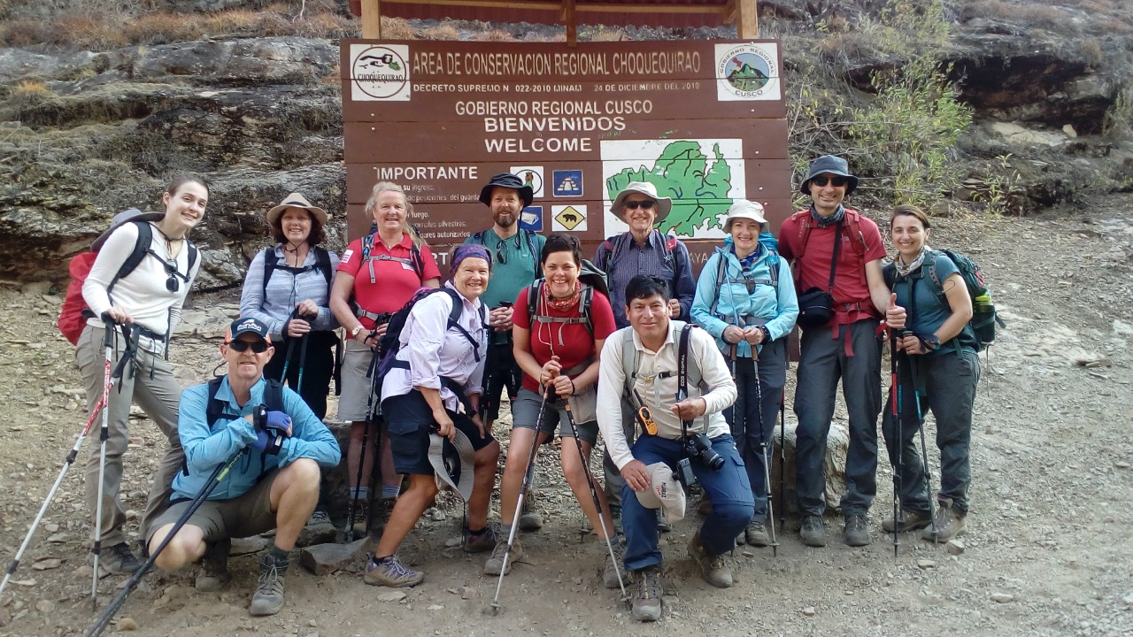
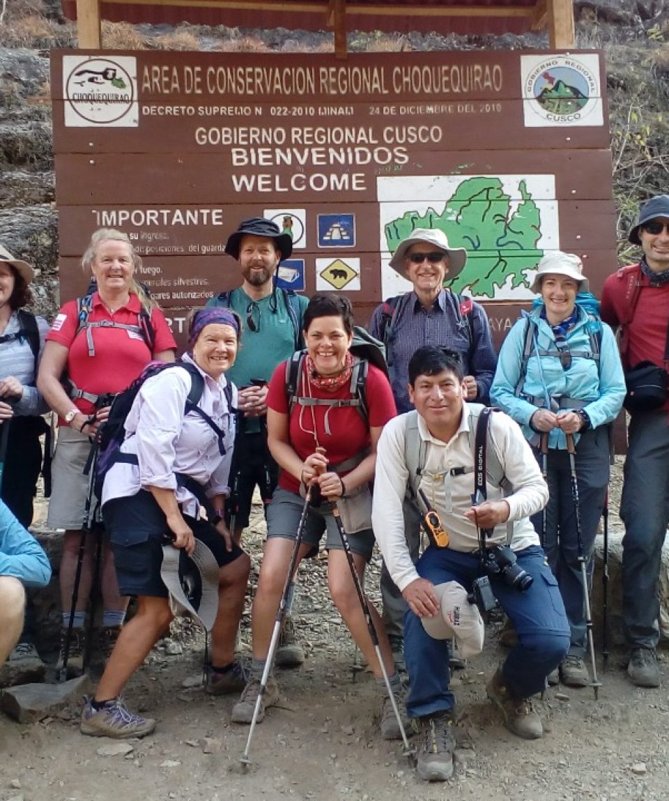
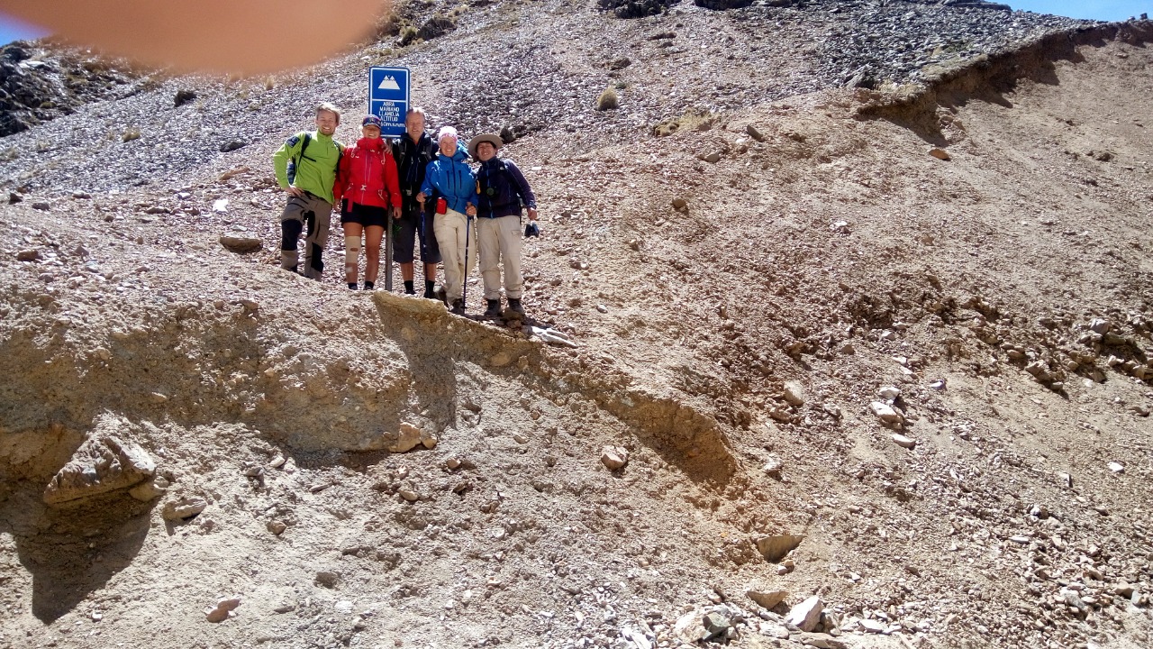
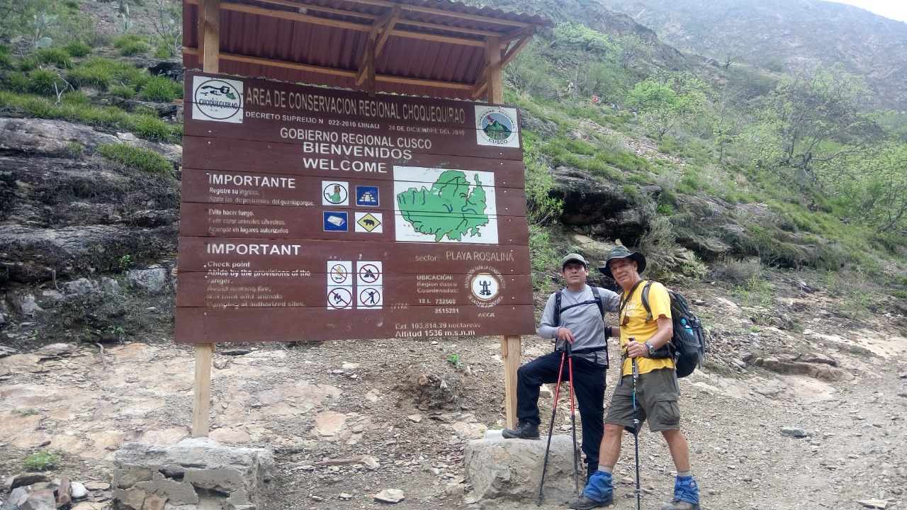
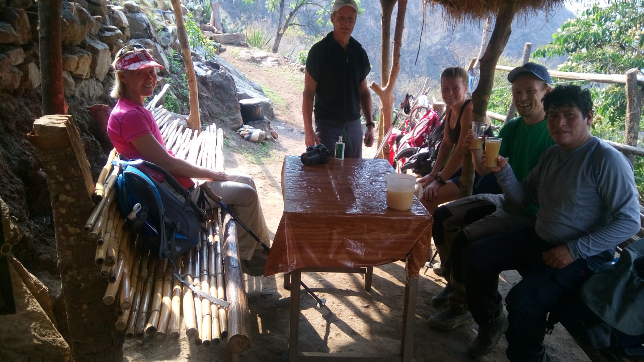
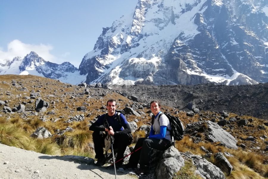
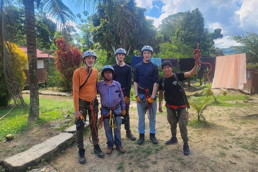
We will come to your hotel in Cusco at 5:00 AM and take you on a private transfer to the town of San Pedro de Cachora (2,800m / 9,186 ft). The trip takes about three hours, and you can eat breakfast at a leisurely pace during that time. When you get there, you'll meet the rest of our travel team, which includes cooks, muleteers, and their horses.
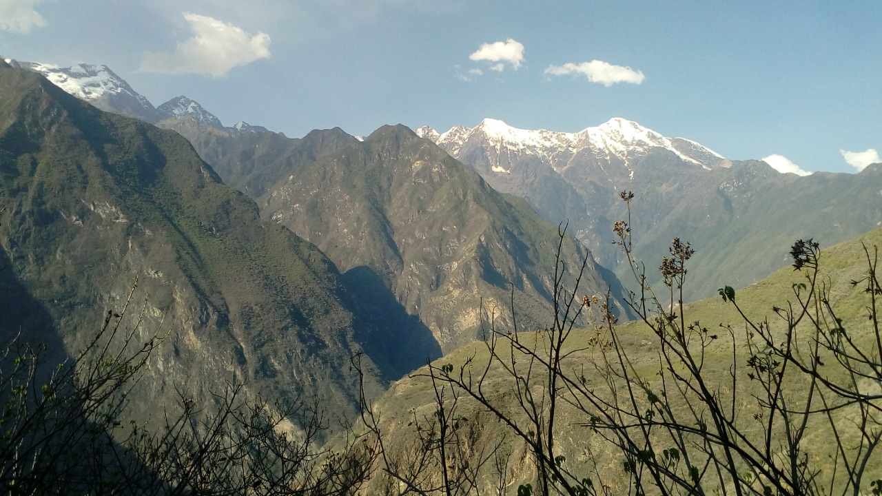
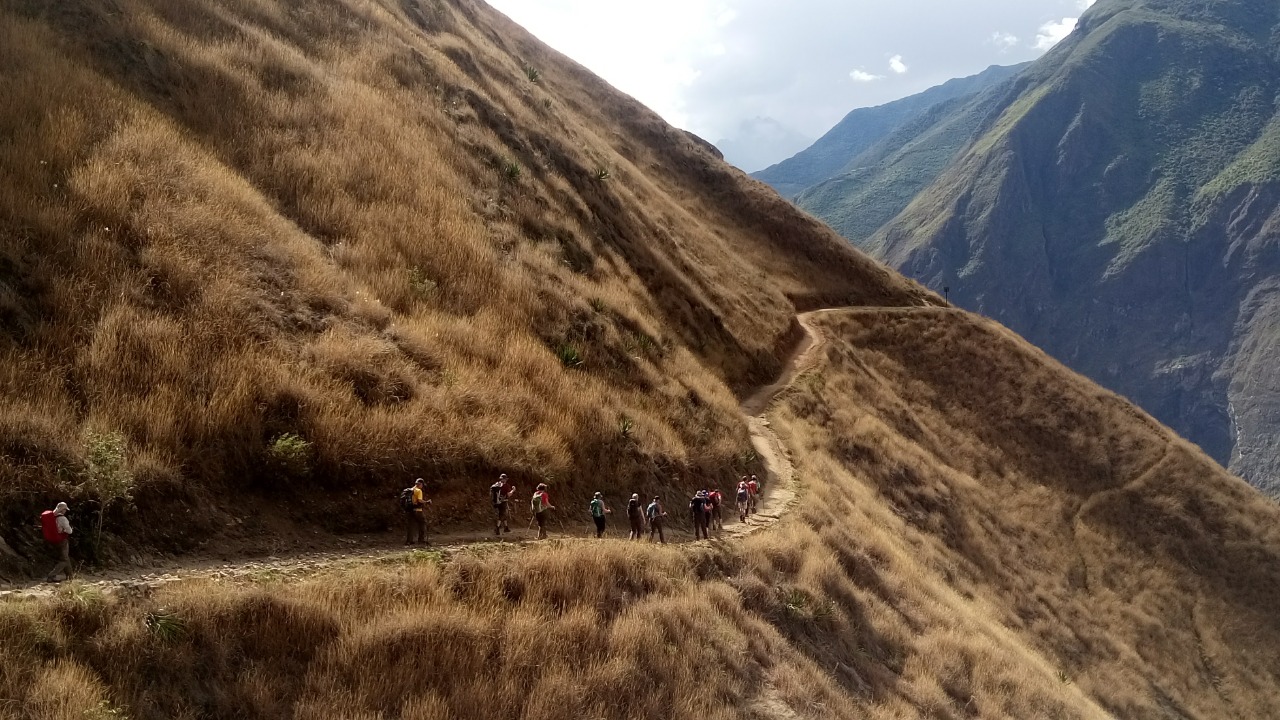
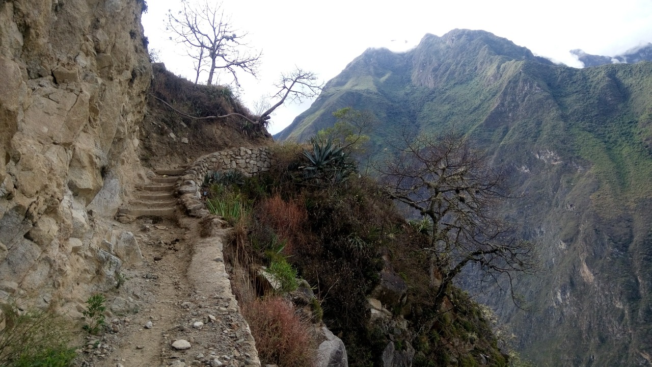
We start our trek to Choquequirao with a hike that lasts about 6 to 7 hours. Along the way, you'll see a lot of different types of land, weather, and beautiful views of the snow-capped Padreyoc Mountains. Our guide will tell you about the plants and animals that live in the area, making the hike both beautiful and informative.
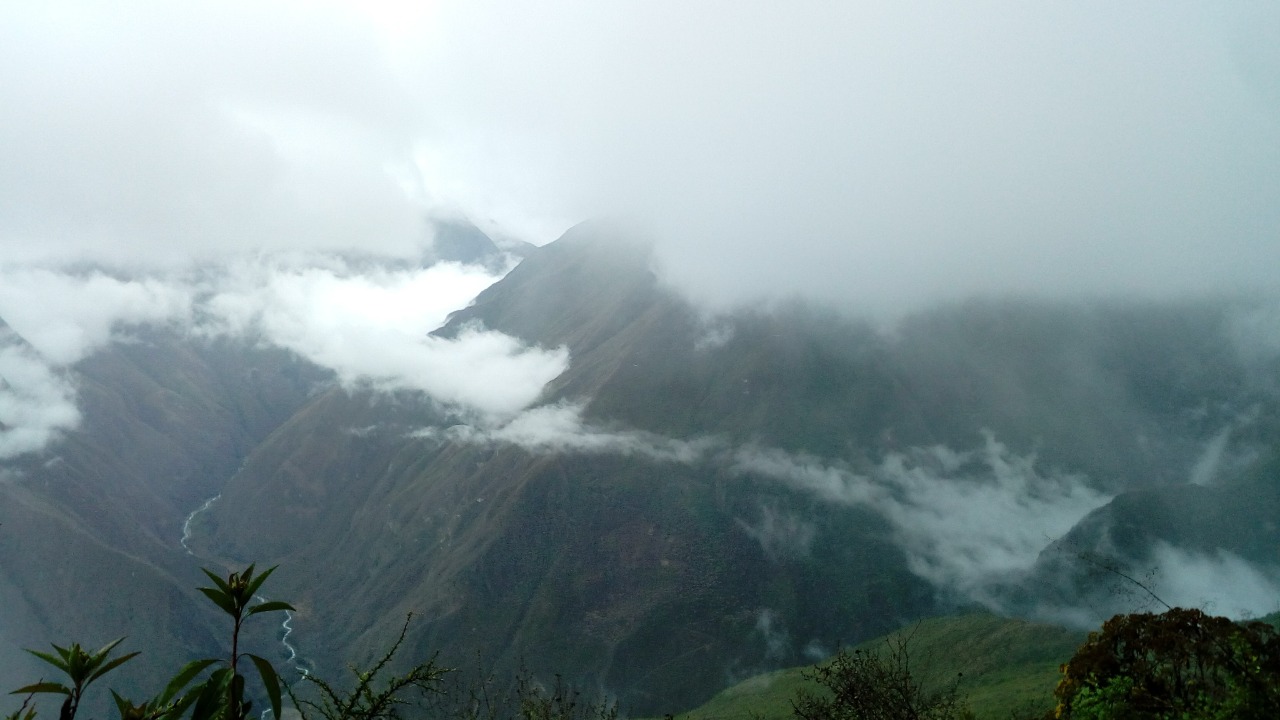
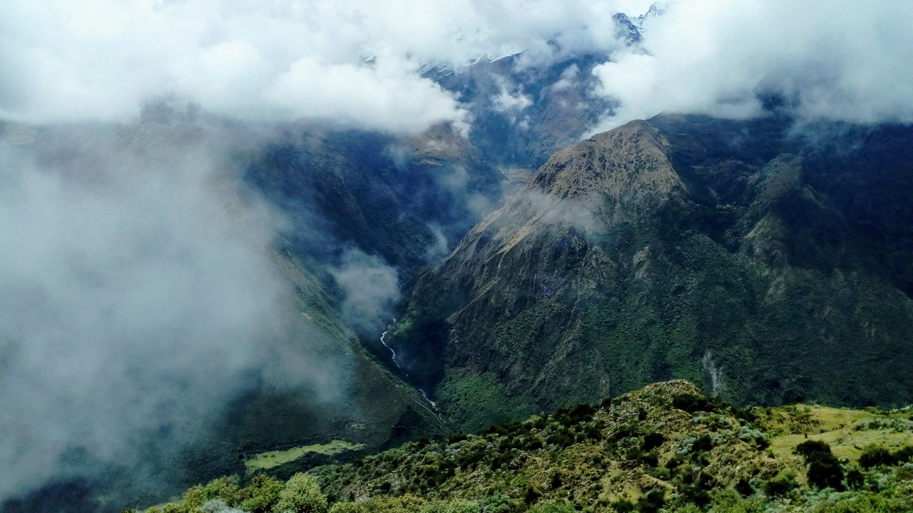
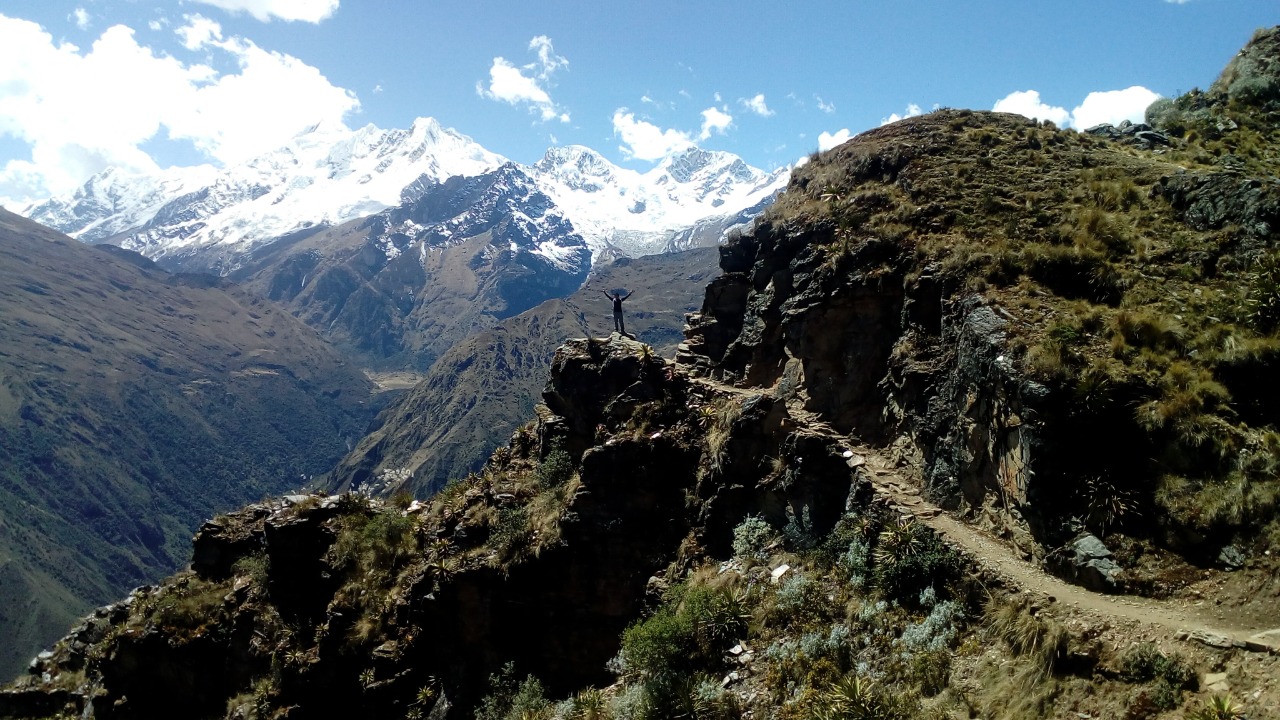
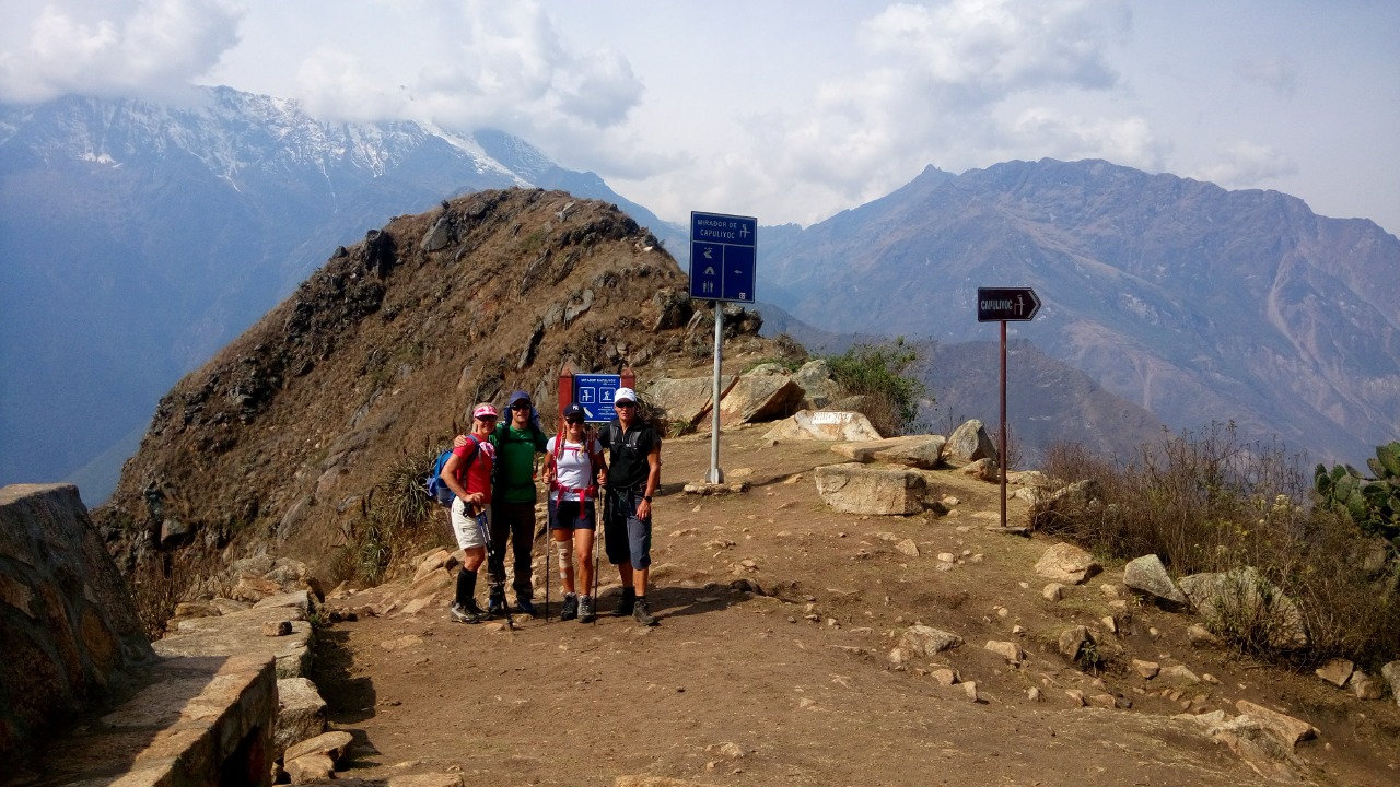
We will get to our first big viewpoint, El Mirador Capulichayoq. From there, you can see the Apurímac River flowing below and the Apurímac Canyon, the world's deepest canyon. We will have our first lunch here with a stunning view of Choquequirao in the distance.
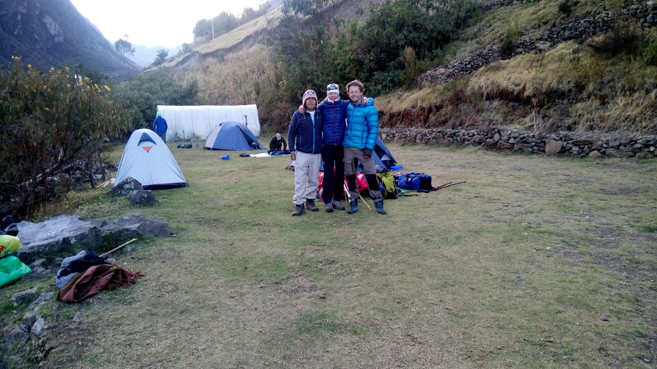
After lunch, we'll keep going down for about three hours to Chikisca (1,800m / 5,906 ft), where we'll set up camp for the night. This place is near the Apurímac Canyon and has a beautiful setting that makes it a great place to relax and take in the beauty of the Andes.
Distance: about 15 km (9.3 miles)
Height: 2,800m (9,186 ft) to 1,800m (5,906 ft)
Total hiking time: 9 to 10 hours, including breaks
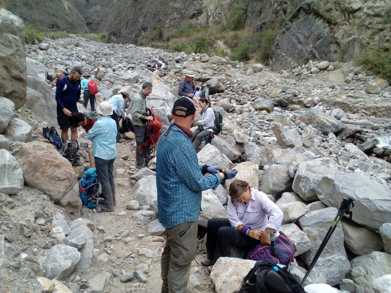
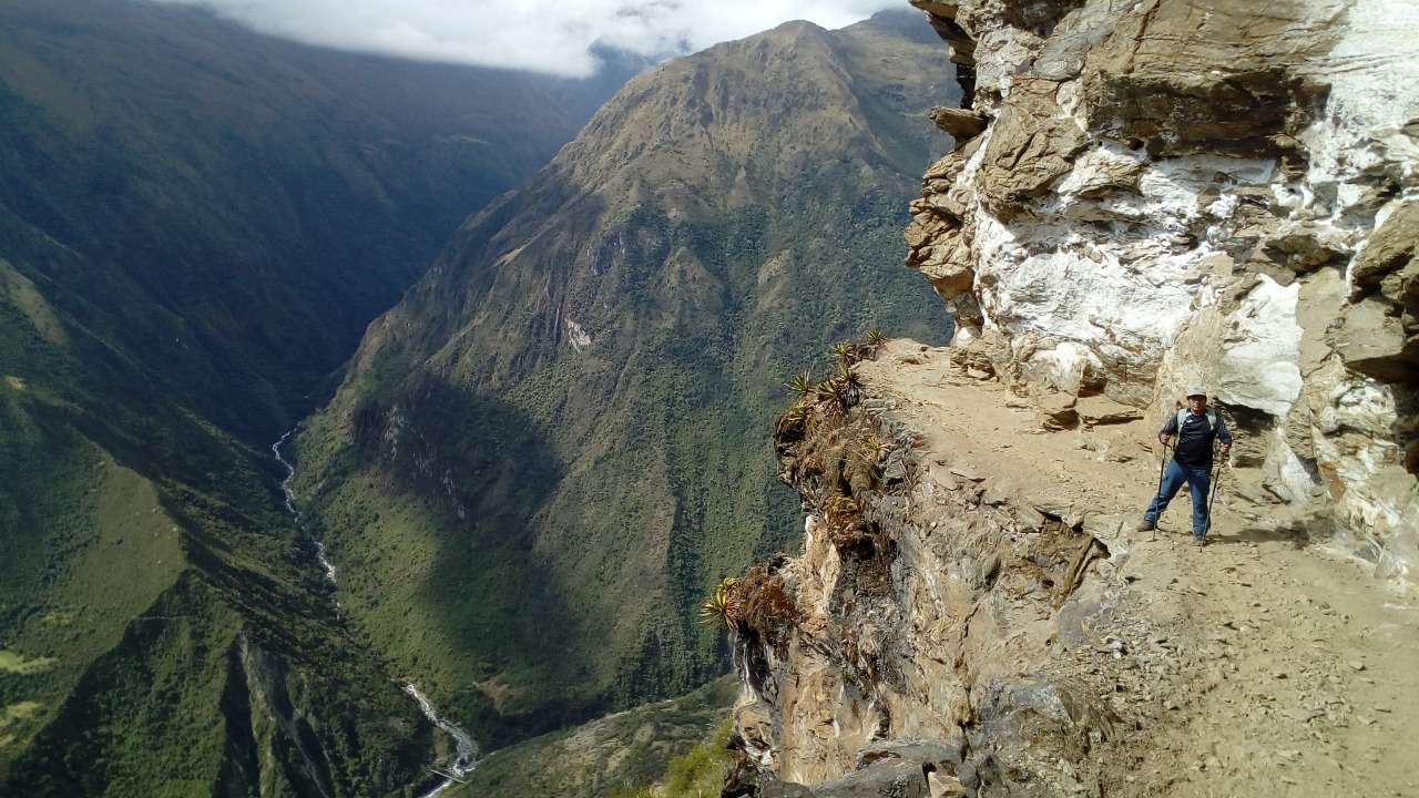
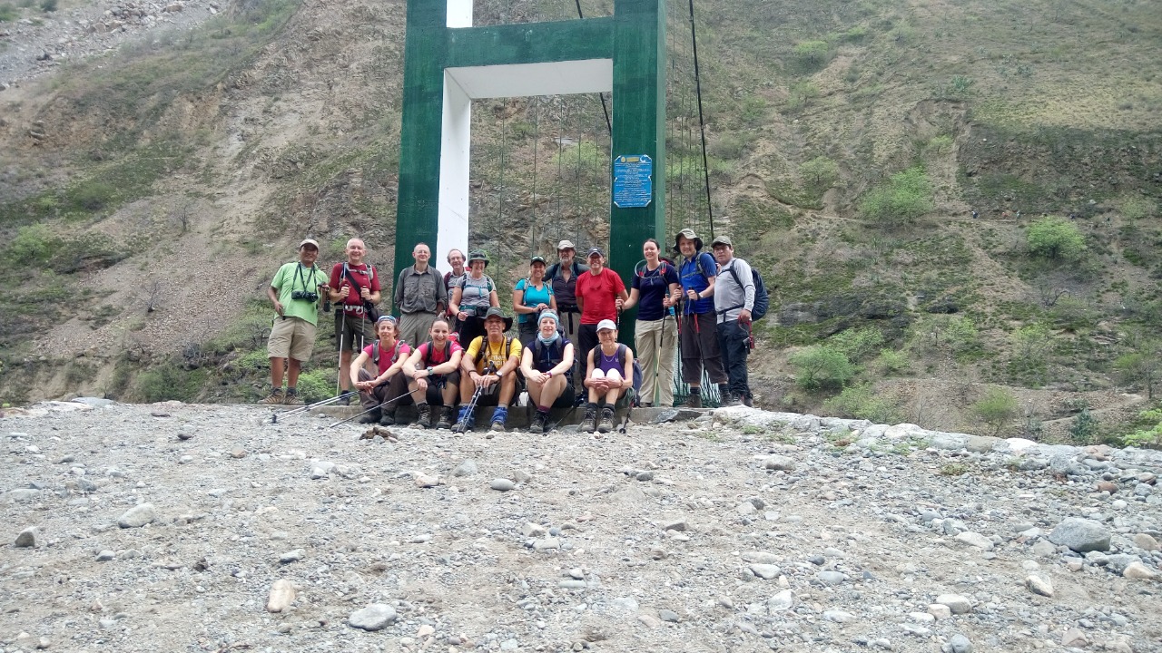
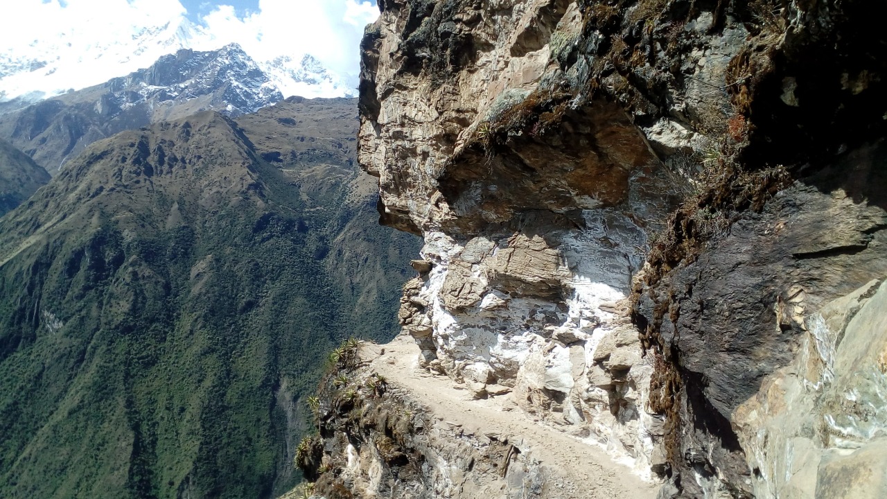
We'll start our hike after a good breakfast at our campsite in Chikisca (1,800m / 5,906 ft). The first part is a slow descent for about 45 minutes until we get to the bridge at Playa Rosalina. The trail gets a lot steeper from here, and we have a hard climb ahead of us that will take about 4–5 hours.
We will stop for lunch at Marampata (2,950m / 9,678 ft) after our hike up the hill. This place has amazing views of the Apurímac Canyon and the river below, which make a beautiful setting for our meal.
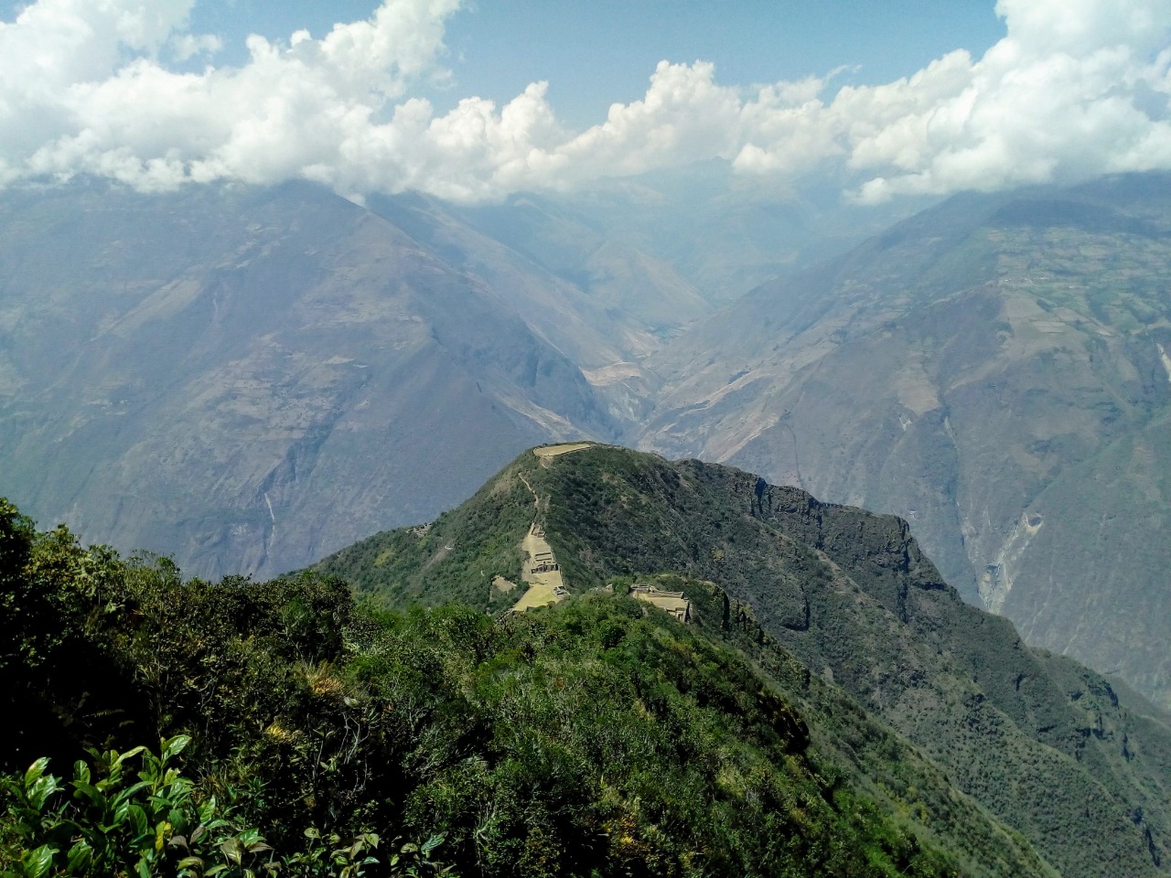
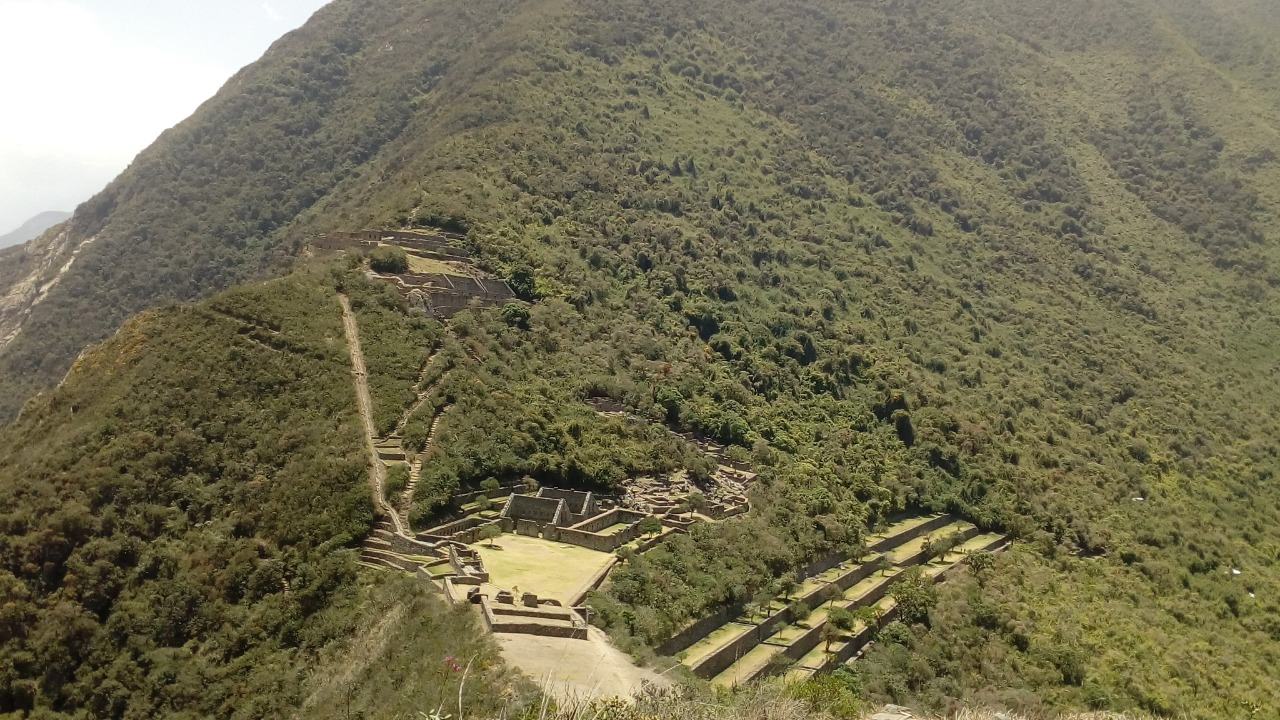
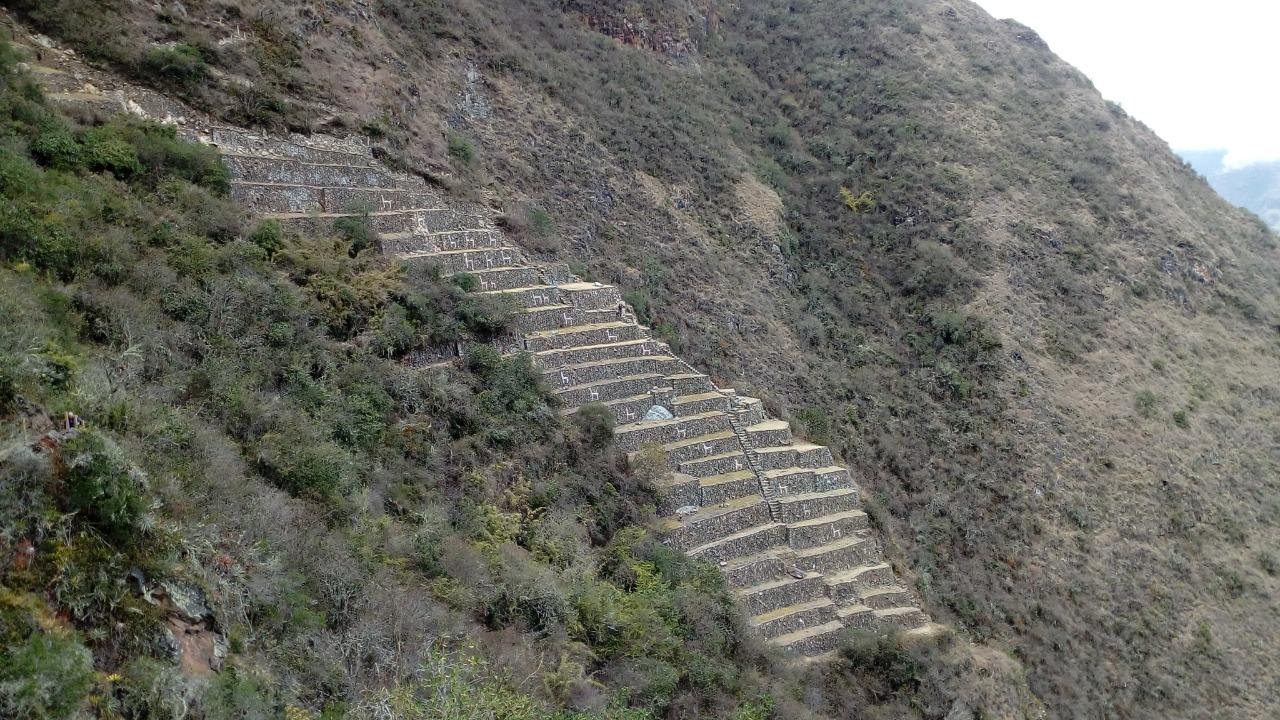
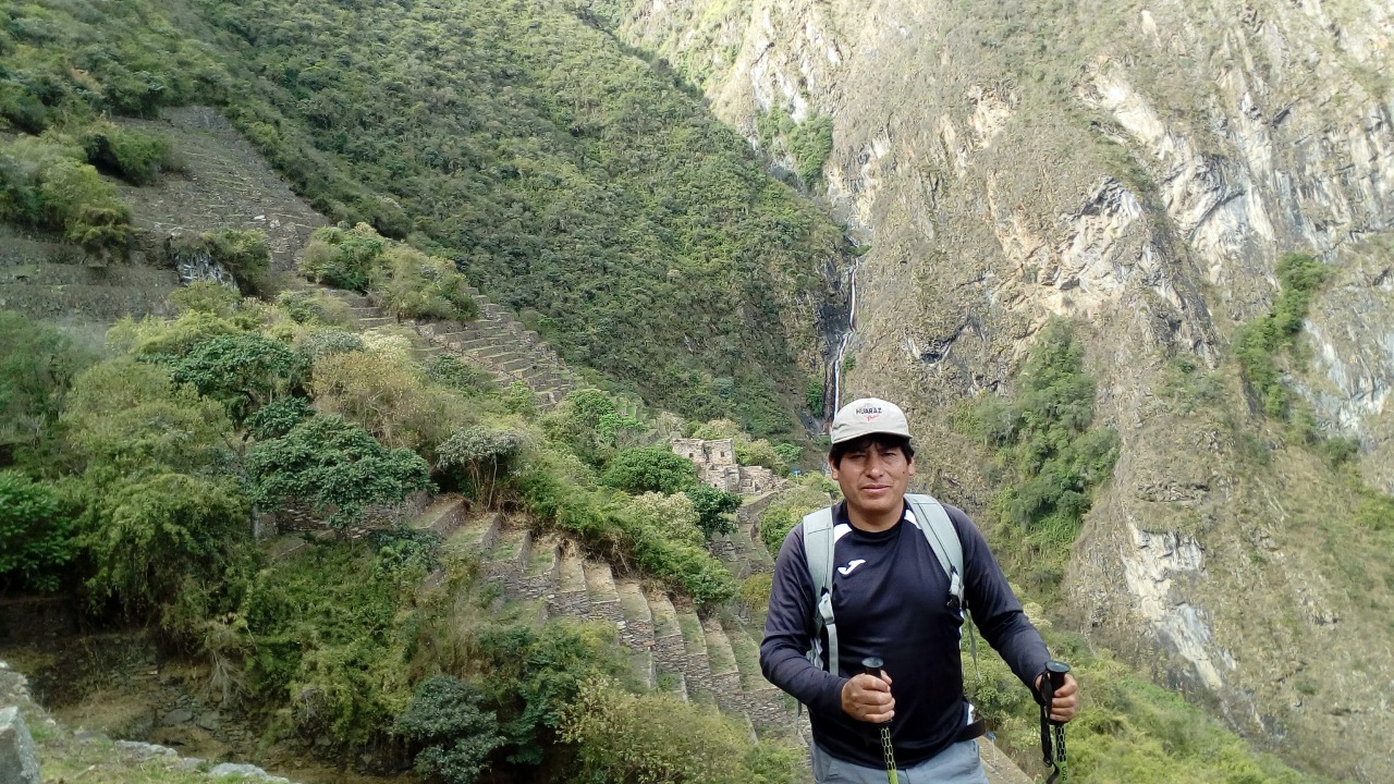
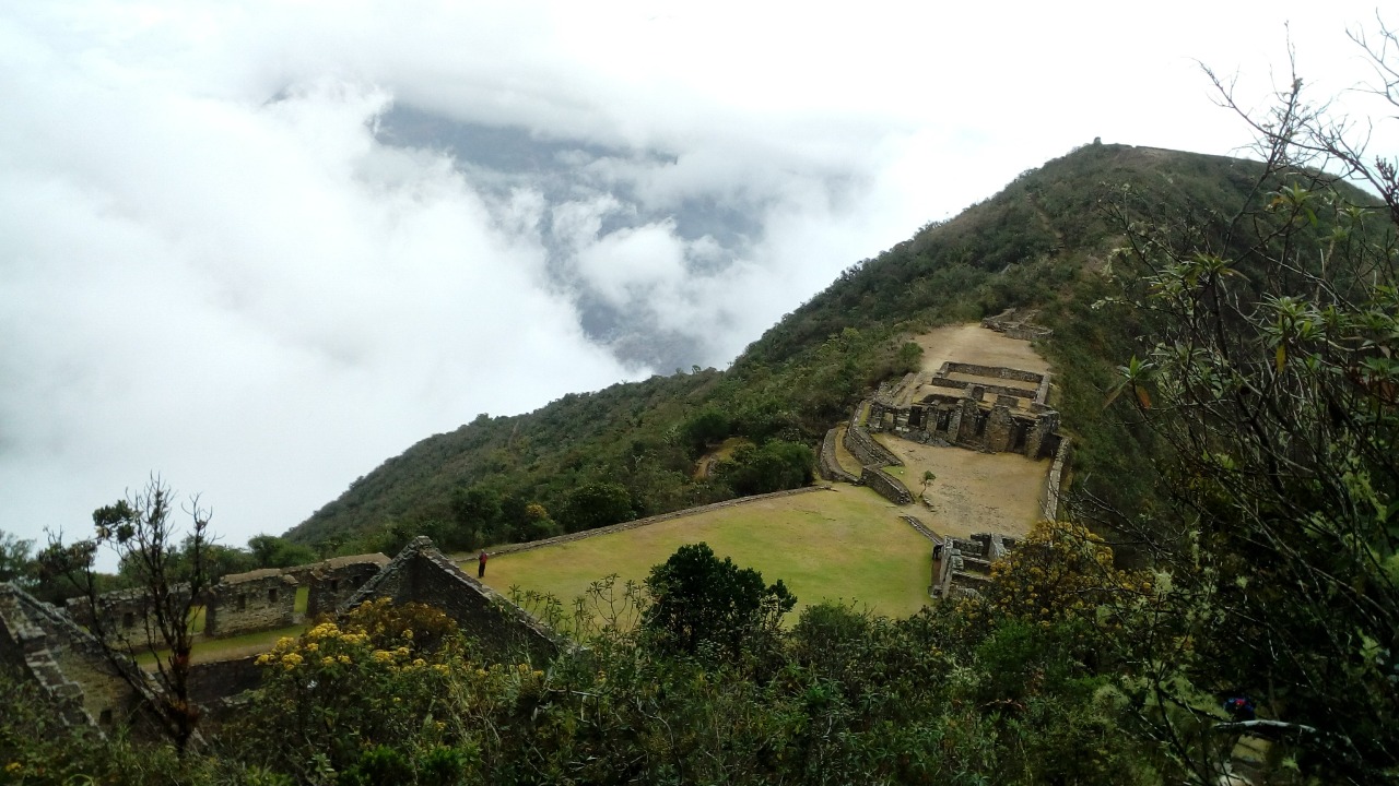
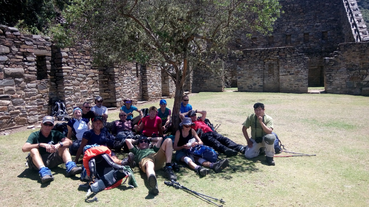
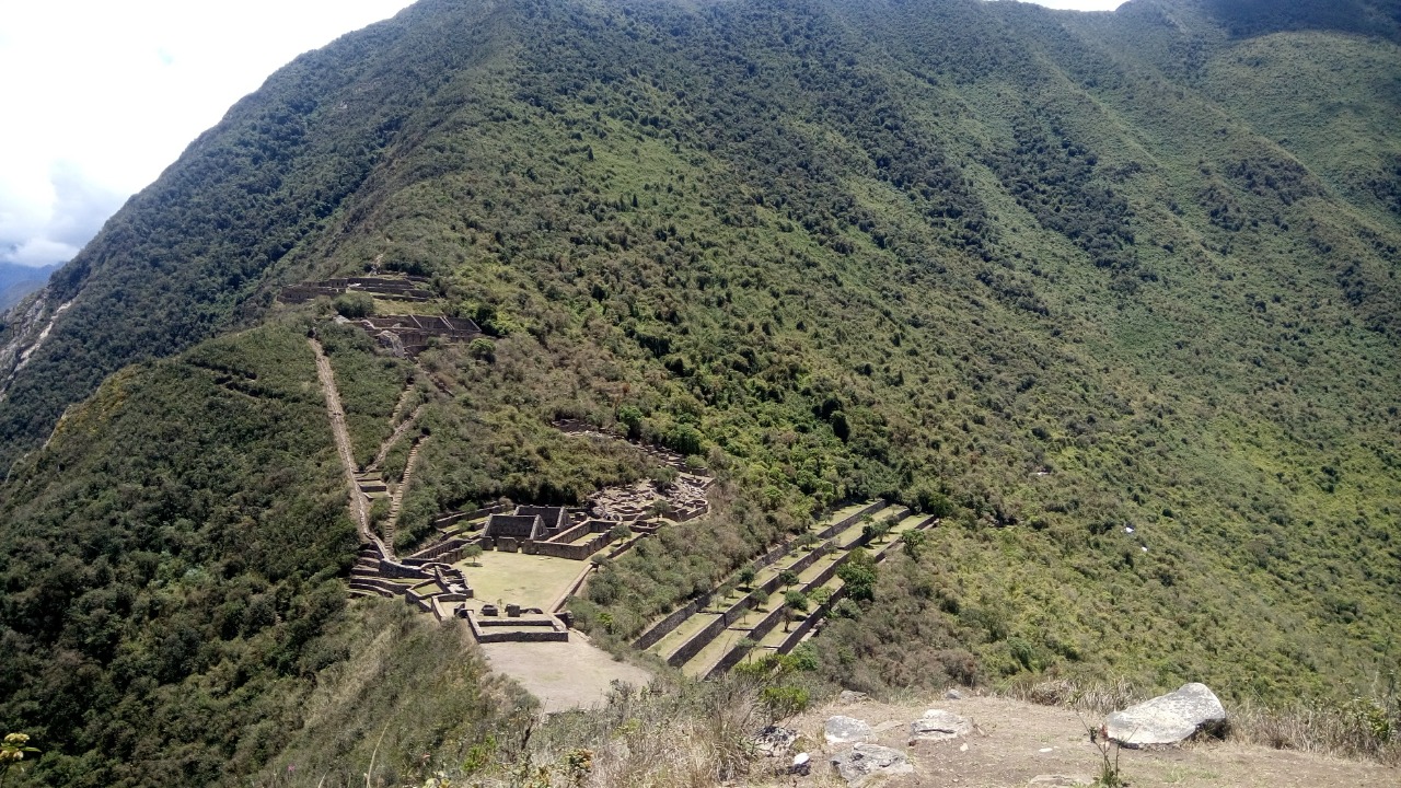
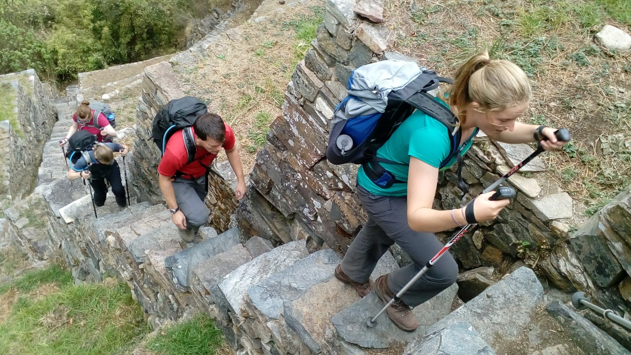
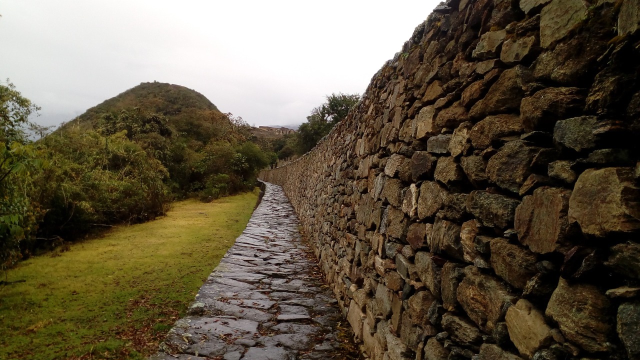
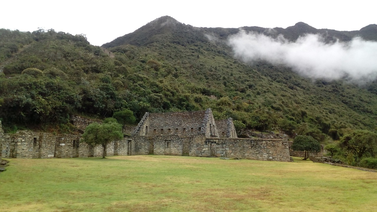
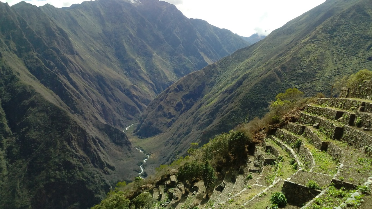
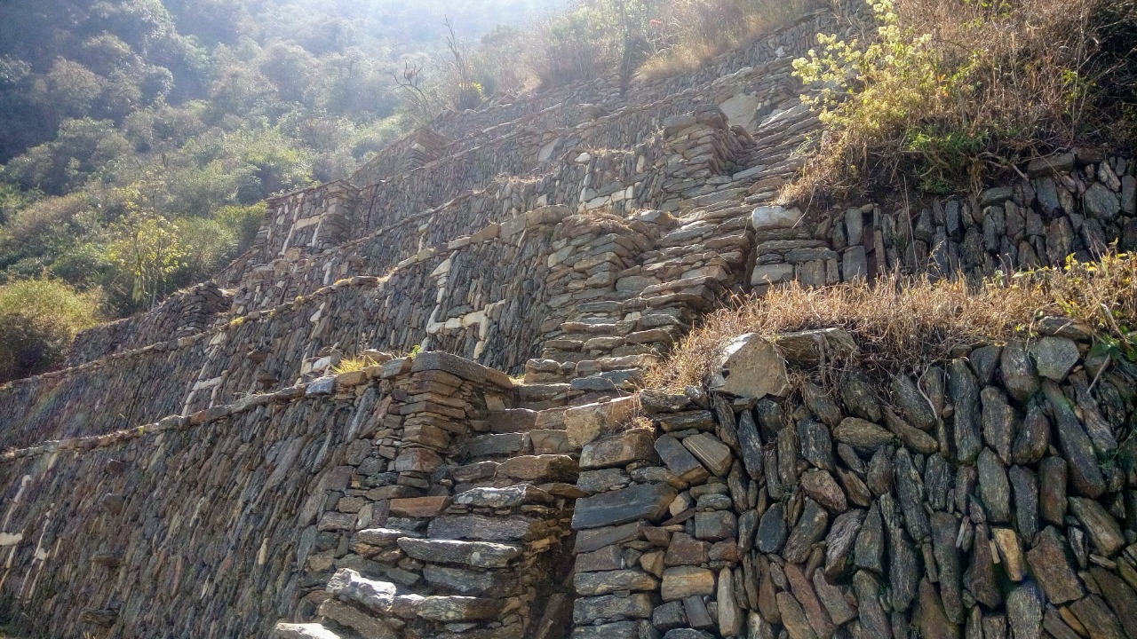
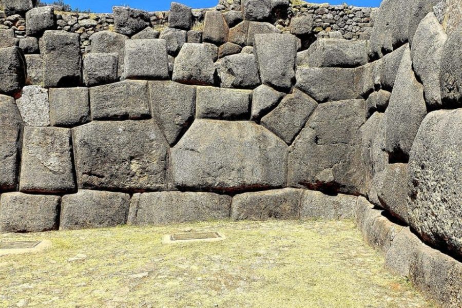
After lunch, we'll keep going for about an hour until we get to the beautiful Inca citadel of Choquequirao, which means "Cradle of Gold" in Spanish. It is 3,033m / 9,951 ft high. We'll be camping here for the night, which will let us explore the old ruins and take in the beautiful views of the wide Apurímac Canyon.
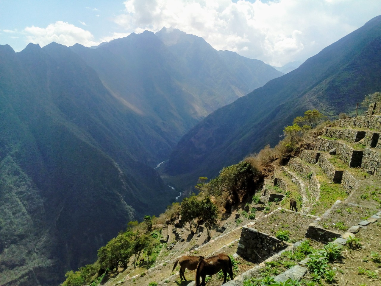
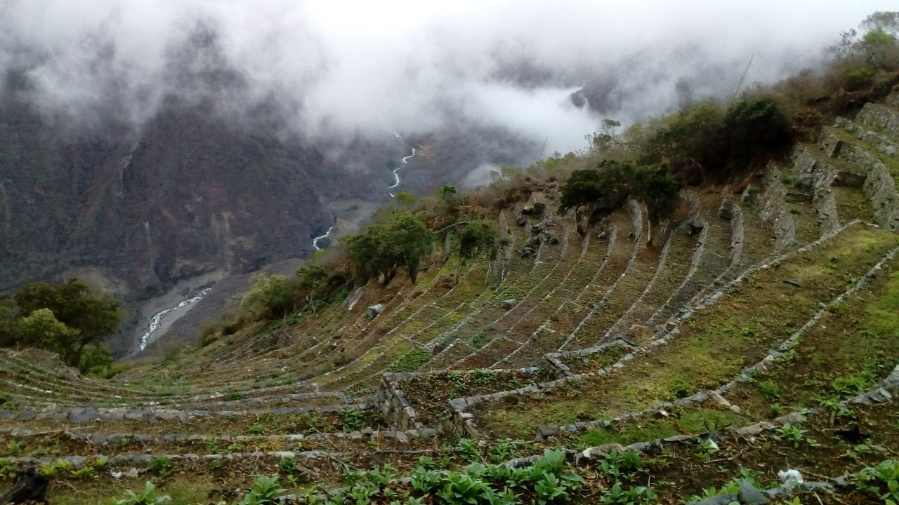
In the late afternoon, we'll visit some of the agricultural terraces and learn about how the Incas farmed. After that, we'll have a relaxing tea break and then a tasty dinner. Then we'll relax for the night and get ready for the fun explorations and adventures that will come the next day.
Distance: about 12 km (7.5 miles)
Gain in height: 1,233 m (4,045 ft)
Total hiking time, not including breaks, is 5 to 6 hours
We'll start our hike after a good breakfast at our campsite in Chikisca (1,800m / 5,906 ft). The first part is a slow descent for about 45 minutes until we get to the bridge at Playa Rosalina. The trail gets a lot steeper from here, and we have a hard climb ahead of us that will take about 4–5 hours.
We will stop for lunch at Marampata (2,950m / 9,678 ft) after our hike up the hill. This place has amazing views of the Apurímac Canyon and the river below, which make a beautiful setting for our meal.
After lunch, we'll keep going for about an hour until we get to the beautiful Inca citadel of Choquequirao, which means "Cradle of Gold" in Spanish. It is 3,033m / 9,951 ft high. We'll be camping here for the night, which will let us explore the old ruins and take in the beautiful views of the wide Apurímac Canyon.
In the late afternoon, we'll visit some of the agricultural terraces and learn about how the Incas farmed. After that, we'll have a relaxing tea break and then a tasty dinner. Then we'll relax for the night and get ready for the fun explorations and adventures that will come the next day.
Distance: about 12 km (7.5 miles)
Gain in height: 1,233 m (4,045 ft)
Total hiking time, not including breaks, is 5 to 6 hours
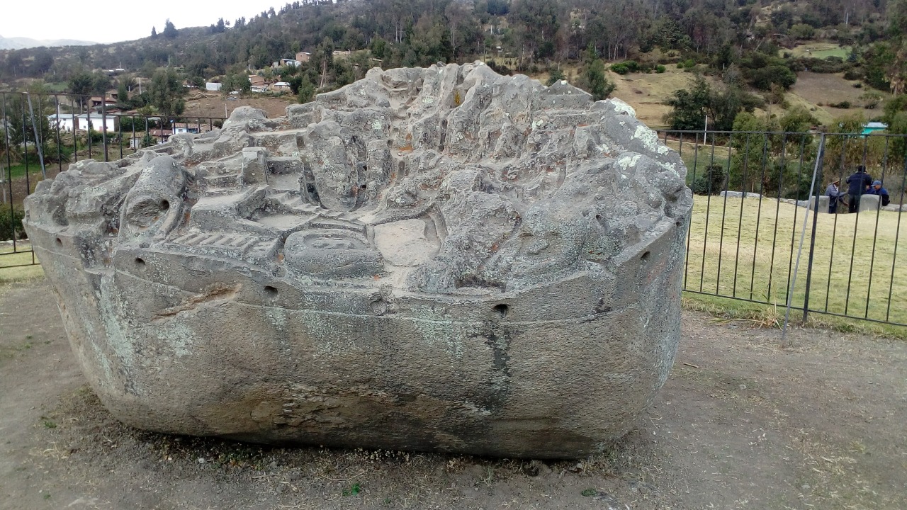
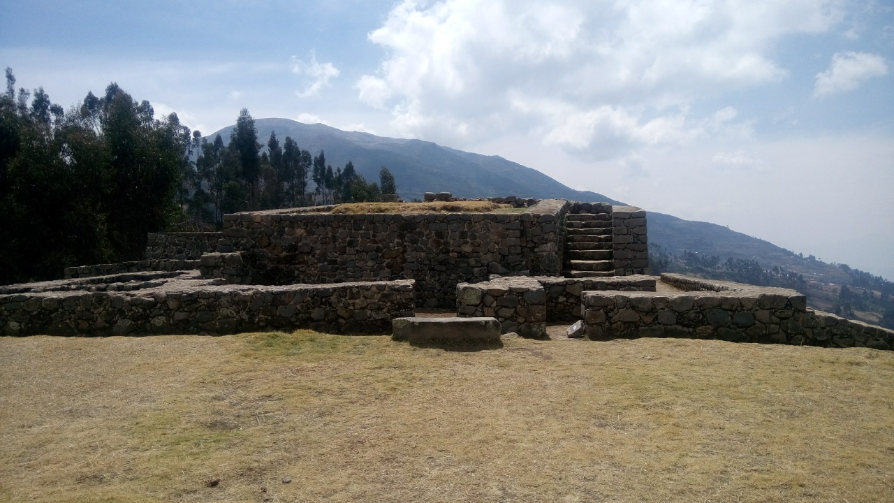
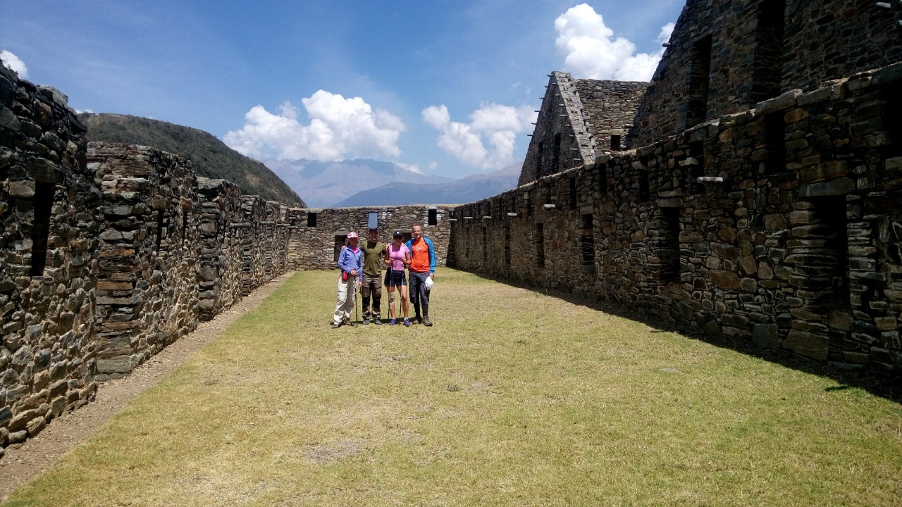
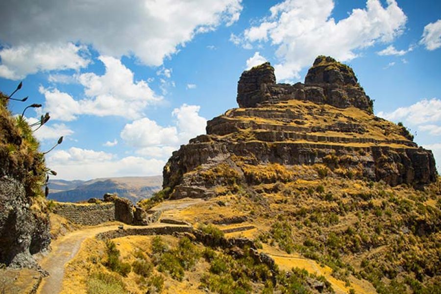
We'll start our trek across the mountain where Choquequirao is located after breakfast at our campsite (3,033m / 9,951 ft). The path goes down into the next valley and then back up toward our campsite for the night. We will stop at the newly discovered archaeological site of Qorihuayrachina along the way. It is an amazing look at Inca engineering.
As we make our way through the different types of land, we will pass through the terraces of Pincha Unuyoq, which are partly covered by thick Andean forest. In the past, Pincha Unuyoq served as an agricultural support center for Choquequirao, showing how smart the Inca farming system was.
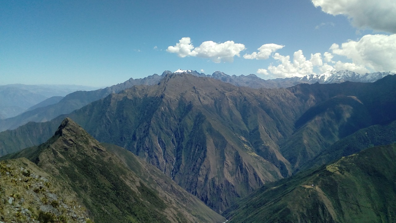
Today's hike will take about 7 to 8 hours through rough Andean terrain. Along the way, you'll get to see the beauty and complexity of the area and the remains of ancient Inca buildings. By the end of the day, we will be at our campsite in Santa Rosa (2,200m / 7,215 ft), a peaceful place where we can relax and take in the beautiful mountain views.
Distance: about 14 km (8.7 miles)
Change in height: from 3,033m (9,951 ft) to 2,200m (7,215 ft)
Time to hike: 7 to 8 hours
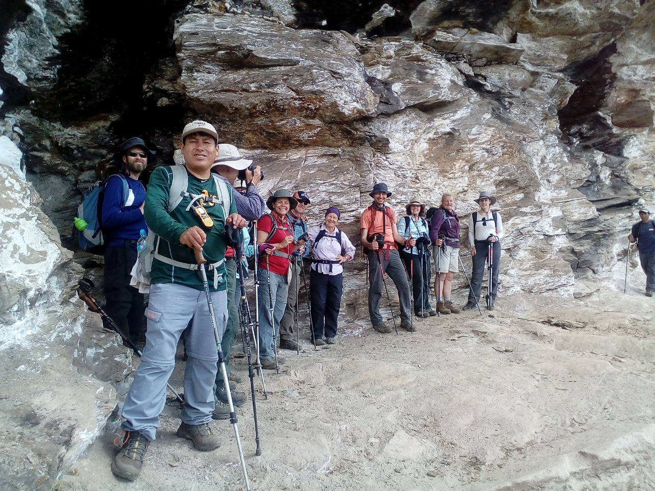
We get up early to see Qorihuayrachina, an archaeological site that was found in 1999. As we climb through the lush vegetation of the Andes, we get closer to the first mountain pass. We walk along ancient Inca trails and one of the old silver mines that the Incas used.
After a satisfying lunch at about 4,000m / 13,123 ft, we go down to a place called "The Garden," which is below cliffs and outcrops. The colorful native flowers here make one of the most beautiful and stunning landscapes on the trek.
At the end of the day, we will go down to the village of Yanama, where we will set up our campsite (3,520m / 11,549 ft). This lovely village is a peaceful place to unwind and think about the day's events while taking in the beautiful scenery of the Andes.
Distance: about 15 km (9.3 miles)
Gain in elevation: 1,800 m (5,906 ft)
Loss of elevation: 280 m (918 ft)
Time to hike: 7–8 hours
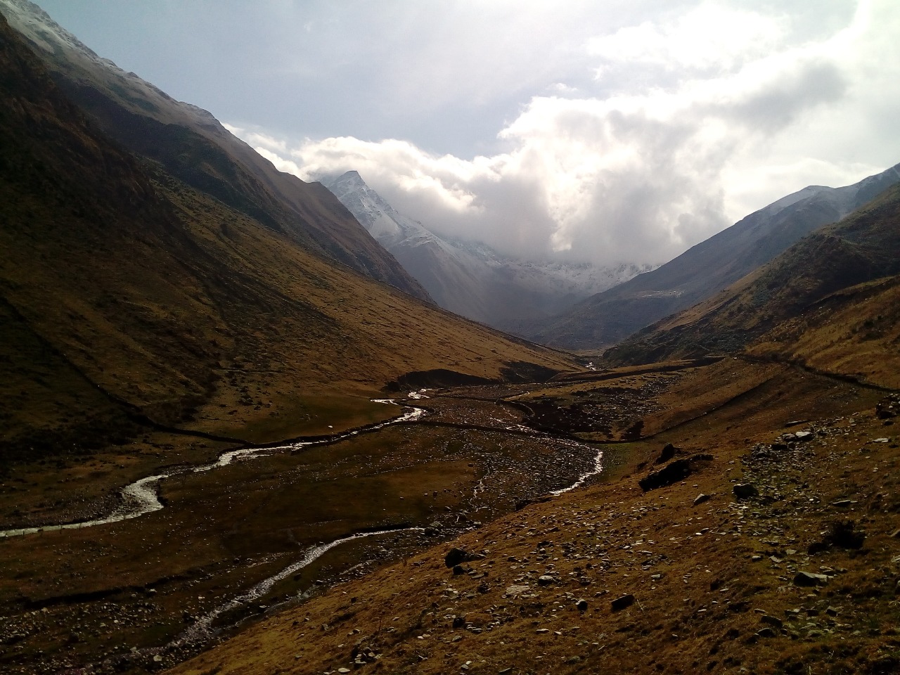
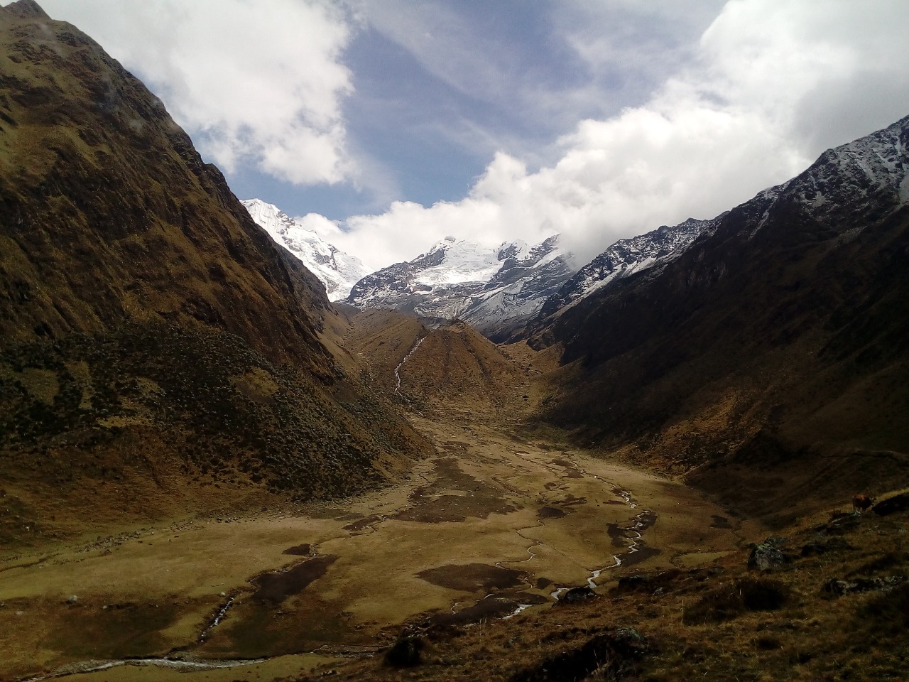
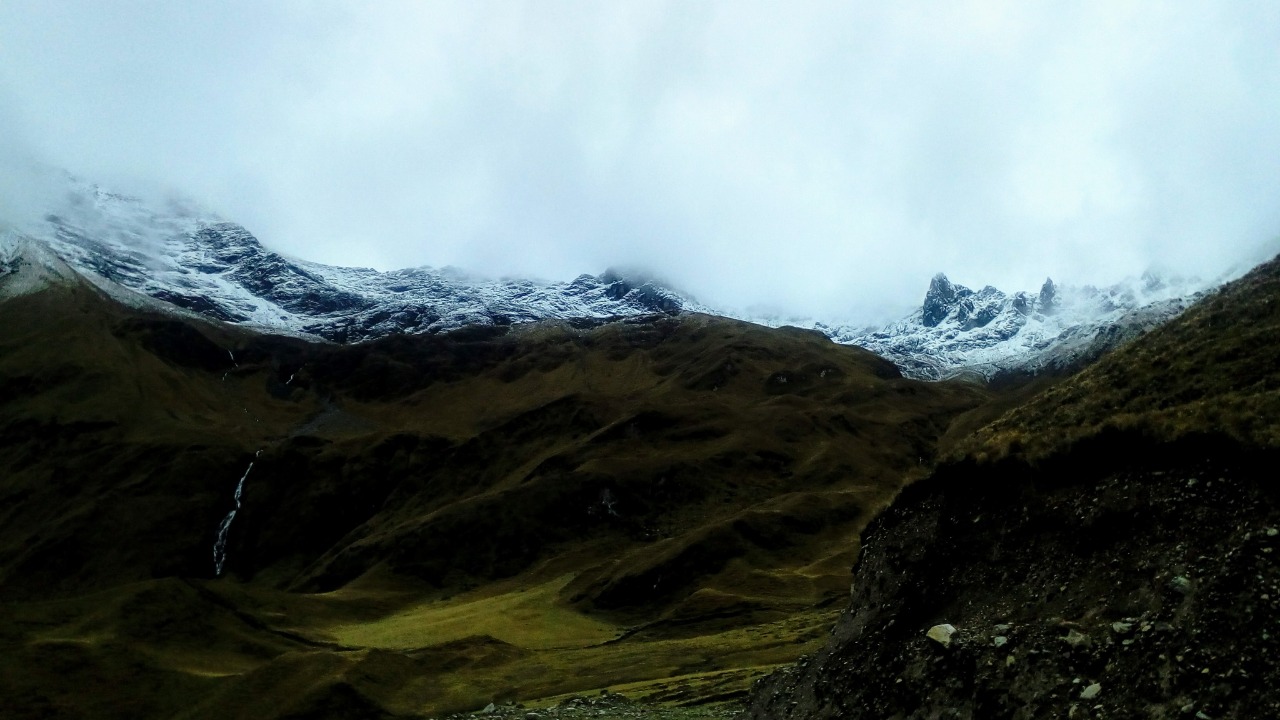
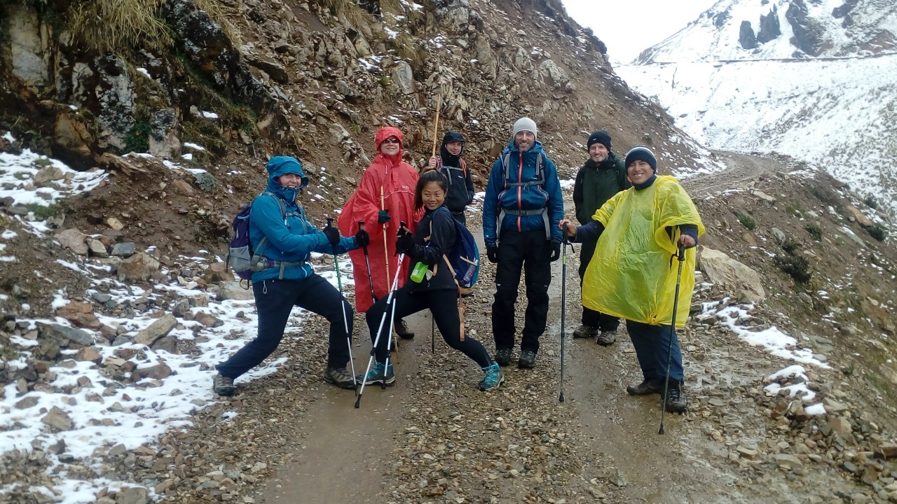
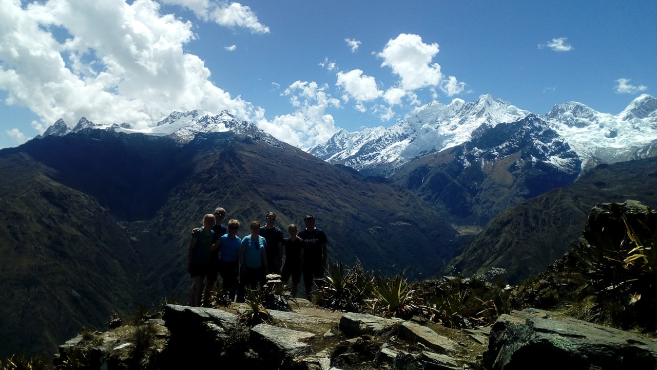
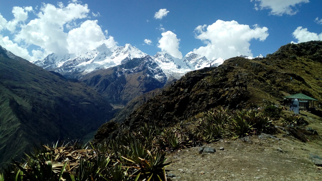
We eat breakfast at our Yanama campsite (3,520m / 11,549 ft) and then get ready to hike to the second mountain pass. The path ahead is easy and leads to peaceful scenery, waterfalls, and glaciers. As we get closer to the pass, the Andean peaks covered in snow all around us make for a truly stunning view.
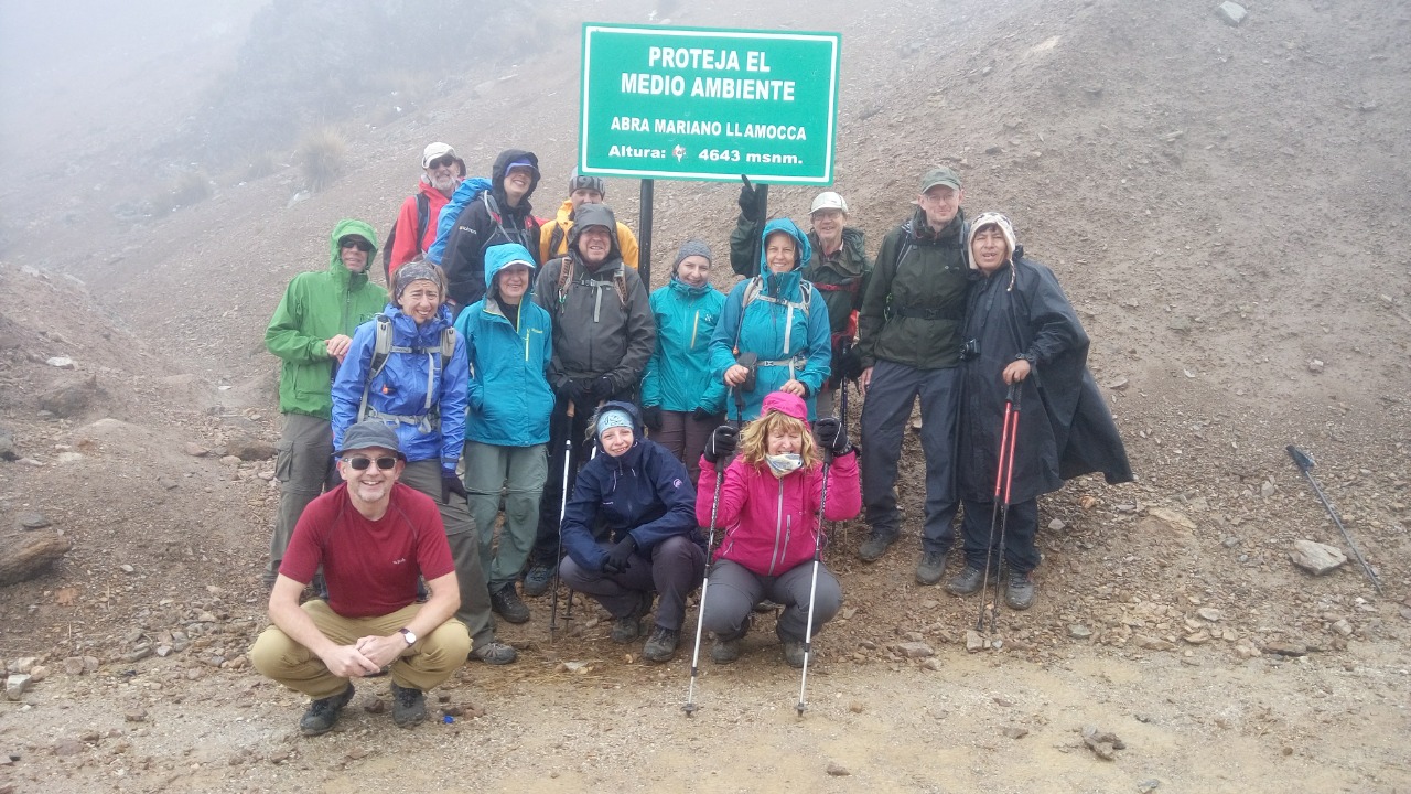
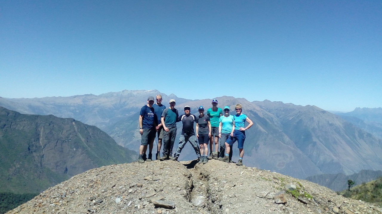
When you get to La Puerta, the pass at about 4,400m (14,435 ft), you'll feel like you're on top of the world. From here, you can see the surrounding mountains and valleys like never before.
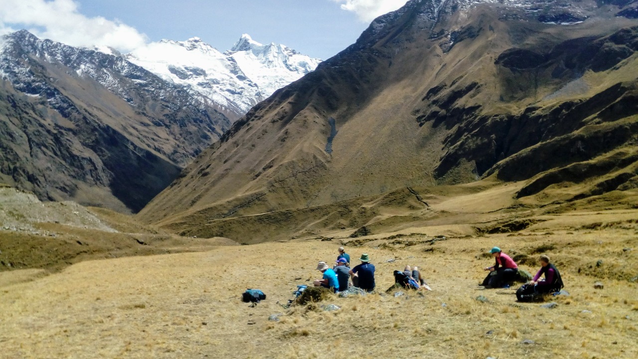
After we cross the pass, we will go down to a big meadow next to a stream that flows. This is a great place to rest and enjoy the peaceful scenery of the Andes. We keep walking until we get to the small village of La Playa, where we will set up camp for the night at 2,400 meters (7,874 feet). This lovely village is a great place to relax and think about the day's events.
Distance: about 14 km (8.7 miles)
Elevation Gain: 880 m (2,887 ft)
Loss of elevation: 2,000 m (6,562 ft)
Time to hike: 6 to 7 hours
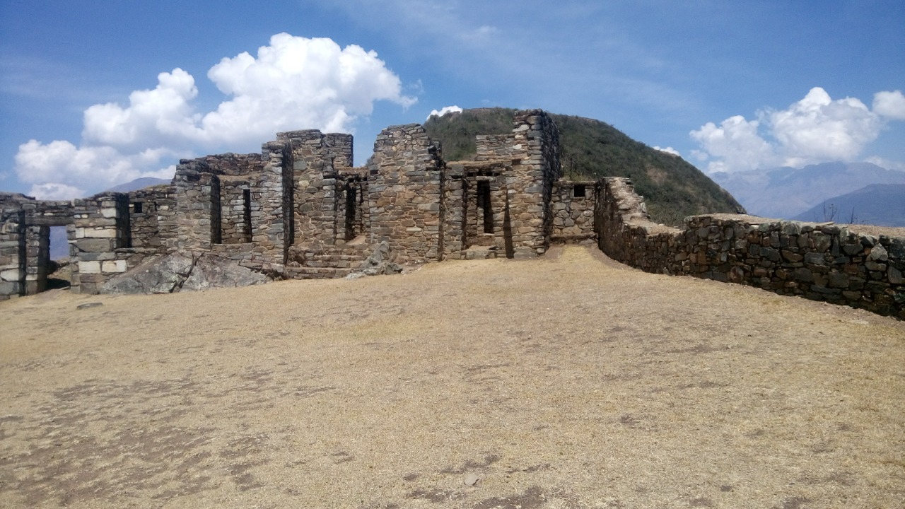
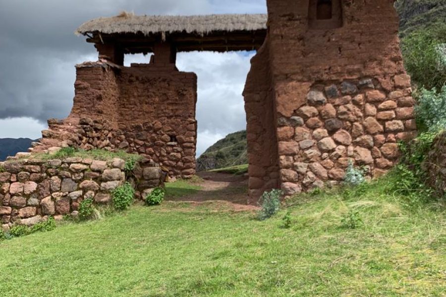
Today we begin a 3-hour ascent along an original Inca trail, leading us to the first archaeological site of our trek, Llactapata (2,700m / 8,858 ft). Along the climb, we pass through a diverse range of vegetation, including high jungle flowers, shrubs, and towering trees, showcasing the rich Andean biodiversity.
At Llactapata, an ancient Inca site perched on the mountainside, we enjoy a guided tour and stunning panoramic views of Machu Picchu and the surrounding mountain ranges, offering a unique perspective rarely seen in typical photographs.
After exploring the site, we begin a 2-hour descent to Hidroeléctrica (2,050m / 6,725 ft), where we enjoy a final lunch prepared by our chef.
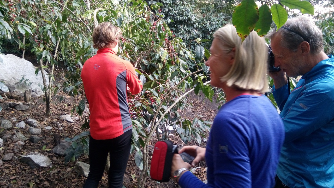
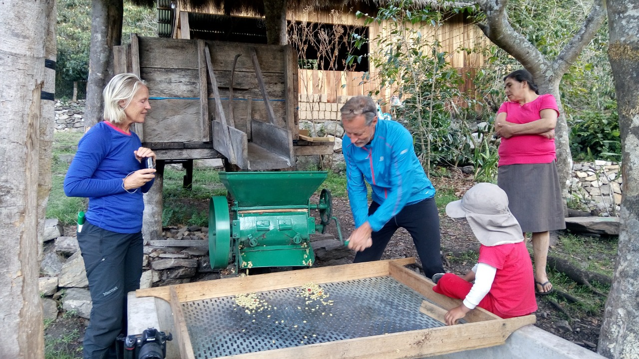
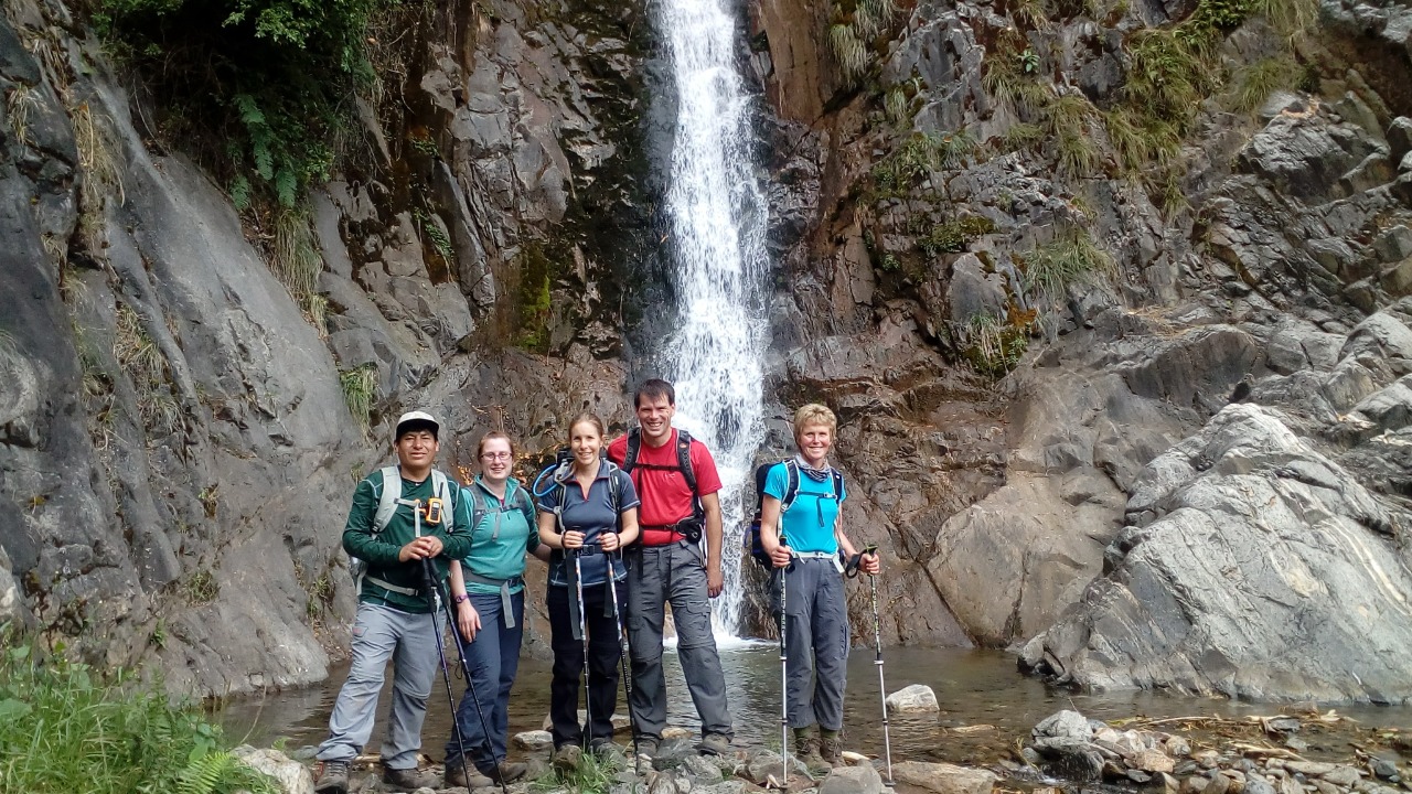
Following lunch, we walk for approximately 2.5 hours to reach the charming village of Aguas Calientes (2,040m / 6,693 ft). On the way, we pass through Mandor, renowned for its botanical gardens, vibrant flowers, and orchid species. If time allows, we may visit the Mandor Waterfalls, adding to the scenic beauty of the trek.
We are expected to arrive in Aguas Calientes around 5:00 PM, where we will check into a comfortable hotel with private rooms, hot showers, cable TV, and Wi-Fi. Dinner will be served around 7:00 PM, and we prepare for the most anticipated part of the journey: the visit to the sacred city of Machu Picchu.
Distance: ~12 km (7.5 miles)
Elevation Gain: 700 m (2,297 ft)
Elevation Loss: 1,200 m (3,937 ft)
Hiking Time: 7–8 hours
After breakfast, we start our climb to the Inca citadel of Machu Picchu (2,430m / 7,972 ft) early in the morning, around 5:00 AM. Because we start so early, we can be among the first groups to enter the site. This gives us a magical chance to see the sunrise over the old city.
When we get there, we take a guided tour of the most important temples, plazas, and palaces. Our expert guide tells us all about the history, architecture, and mysteries of the Inca civilization. The tour lasts about two hours, which is plenty of time to take in the amazing archaeological sites.
After the tour, you'll have some free time to look around Machu Picchu on your own. You can pay an extra $70 USD per person to climb Huayna Picchu or Machu Picchu Mountain if you want. These hikes give you amazing views of the citadel and the mountains around it.
At the right time, we go down to Aguas Calientes to catch the train to Ollantaytambo (2,040m / 6,693 ft). After that, we take a private transfer to Cusco, where we arrive around 8:00 PM. A representative will make sure you get to your hotel in Cusco, which will end this amazing 8-day trip.
Distance: about 5 km (3.1 miles) hiking around Machu Picchu
Gain in height: about 200 m (656 ft) not required Climbing Huayna Picchu
Time to hike: 2 to 3 hours (with a guide and an optional climb)
For the tour, you should bring lightweight, moisture-wicking clothing, a hat, sunscreen, insect repellent, a reusable water bottle, and comfortable hiking boots. It’s also a good idea to pack a rain jacket, sunglasses, and a camera.
Wear layers of clothing that can be easily added or removed as temperatures change. Include a moisture-wicking base layer, an insulating layer for warmth, and a waterproof outer layer. Opt for quick-drying fabrics to stay comfortable.
The tour typically includes well-balanced meals, including breakfast, lunch, and dinner. Options for vegetarian or special dietary needs can usually be accommodated if requested in advance.
Basic facilities are available at campsites, including portable toilets. For personal hygiene, bring items such as hand sanitizer, biodegradable soap, and a small towel. There may not be showers available, so plan accordingly.
The tour will continue even if it rains, so be prepared with waterproof gear. A rain jacket and waterproof cover for your backpack will help keep you dry. The itinerary may be adjusted if weather conditions are severe.
The tour is moderately to highly demanding, with significant hiking involved. A reasonable level of fitness is recommended to handle the elevation changes and varying terrain. Training prior to the tour can help improve your experience.

Confidence to our customers
Quality of service

Secure Payment
Ensure Safe & Secure Payment
Member Since 2023


Leave a review